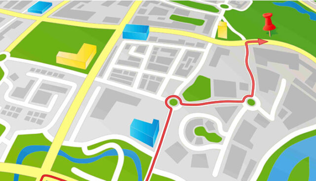

What is GIS?
GIS or geographic information science is a method that’s computer based used for managing, collecting, analyizing, presenting and modeling geographic data. What GIS software allows is to overlay data sets and maps. For instance, you can load different layers of cracks, streams, rivers, land parcels, maps of flood etc. Geographic information science tools are used in many areas for analysis including transportation, city government, health sectors, urban planning, fleet vehicles and business emergency routes..
So what are the tasks of geographic information science specialists?
First of all they help in both maintaining and building databases. They can have few of different job titles like GIS technician, Analyst and cartographer. Their activities on a daily basis can vary from entering different data into database, such as spreadsheet files or text, longitude and latitude coordinates, satellite or aerial imagery or mapping images. Many specialists are using desktop version application so they can create maps by analyizing data. But as the mobile industry is growing with incredibly fast rate they are also involved in supporting and launching mobile versions of maps for public use. This kind of work requires of you to have a good background in programming and computer science.
Where GIS technicians work?
Well they spend most of their times in offices, and some of them in the field, visiting places they’ve already mapped to verify or collect data.
What is the typical salary of GIS specialists?
Well the medium annual salary in the field of cartography is around $57,440. The most you can made by working for federal government, almost $90,000 dollars. Those who are positioned in local government make almost $58,000 while those in scientific, management and technical area make $1000 dollars less. The employment of GIS cartographers and specialists is expected to grow around 20% by year 2025. But, this growth will create only about 2,500 new jobs during that time. Even though demand for this type of job is high, employers will contract those who have some practical experience instead of having just an education. So if you want to be in this field make sure you gain some experience as soon as possible.
GIS specialists are usually starting as technicians who are georeferencing digital map images by hand. This means tracing many lines like streams or roads, lake outlines and buildings. For this type of work it’s good if you have an attention to details. After doing this you eventually work your way up to becoming analyst of positions. They are more involved creatively, solving various problems such as trying to determine what is the best area for building new farm. Specialists in geographic information science have a bachelors degree in cartography, geography or surveying. Many schools are offering certificates, minors or master programs in this field. Certification is also required for every 5 years. If you want to become GIS specialist who runs, uses, maintains and develops GIS systems that many other scientists are being depended on then this job is your future calling, good luck!


